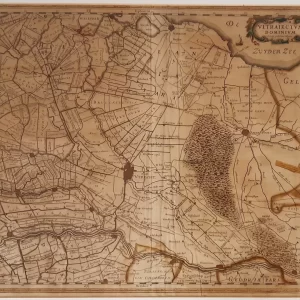
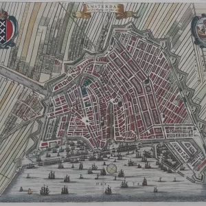
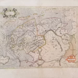
Abraham Ortelius, Dutch name Abraham Ortels or Abraham Hortels (1527 – 1598) was a Belgian cartographer and geographer. After Gerardus Mercator, he was the greatest geographer of his time, and inventor of the modern atlas. In 1570, he published his most influential work, the world atlas Theatrum Orbis Terrarum in 7 languages and 36 editions.
This atlas contained virtually no maps of his own, but compiled 53 maps by others with source citations. Ortelius had all the maps for this atlas engraved in the same style and size on copper plates, logically arranged by continent, region and state. Ortelius also provided the maps with a descriptive commentary and cross-references on the reverse. Thus, for the first time, all Western European knowledge of the world was brought together in one book.
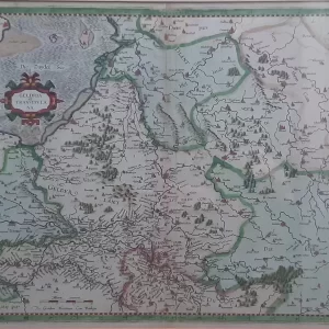
- illustration: this antique map extends from Hamburg and Louwenburg in the south to Tundereen, Allan and Laland Islands in the north, centered on Sleswick. Published in Ortelius’ Theatrum Orbis Terrarum, the first modern atlas of the world
- year: ca 1580
- quality: excellent
- signed: no
- image size: 34.2 x 25.3 cm | 13.5 x 10 in (h x w)
- sheet size: 50.0 x 35.0 cm | 19.7 x 13.8 in (h x w)