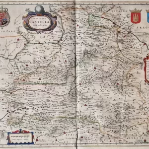
Abraham Ortelius, Dutch name Abraham Ortels or Abraham Hortels (1527 – 1598) was a Belgian cartographer and geographer. After Gerardus Mercator, he was the greatest geographer of his time, and inventor of the modern atlas. In 1570, he published his most influential work, the world atlas Theatrum Orbis Terrarum in 7 languages and 36 editions.
This atlas contained virtually no maps of his own, but compiled 53 maps by others with source citations. Ortelius had all the maps for this atlas engraved in the same style and size on copper plates, logically arranged by continent, region and state. Ortelius also provided the maps with a descriptive commentary and cross-references on the reverse. Thus, for the first time, all Western European knowledge of the world was brought together in one book.
- illustration: a beautiful and highly decorative map of the province of Tuscany, published in Antwerp by Jan Baptist Vrients in Theatro d’el Orbe de la Tierra (Spanish edition of Theatrum Orbis Terrarum). Spanish text on reverse.
- year: 1595
- quality: excellent
- signed: no
- image size: 34.2 x 46.8 cm | 13.5 x 18.4 in (h x w)
- sheet size: 48.2 x 60.9 cm | 19.0 x 24.0 in (h x w)