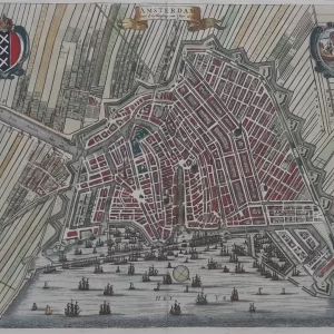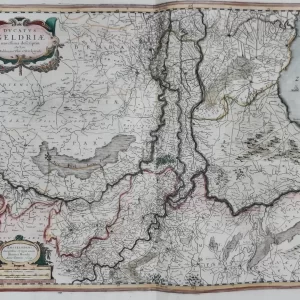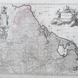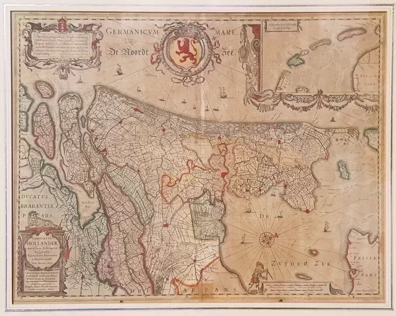
Henricus Hondius is one of the most important Dutch cartographers. He possessed excellent engraving skills and great scientific accuracy. His atlases were a great success because the latest discoveries of Dutch, Spanish and English sailors were incorporated into the maps. Much attention was also paid to embellishing the maps through the use of cartouches, medallions with cityscapes or portraits and coats of arms.
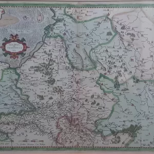
- Illustration: West-oriented map of the County of Holland, based on Van Berckenrode’s wall map, with inset map of the Wadden Islands. Decorations such as a surveyor with compasses. Engraved by Salomon Rogiers, published by Hondius in Amsterdam ca. 1630
- year: 1633
- quality: good, small repair center bottom
- signed: printed in plate
- image size: 40.3 x 51.4 cm | 15.9 x 20.2 in (h x w)
- sheet or frame size: 56.5 x 67.8 cm | 22.2 x 26.7 in (h x w)