Showing 25–36 of 52 results
-
 Old maps€200,00
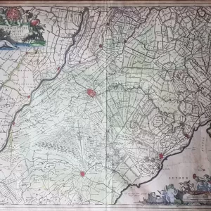
Nicolaes Visscher II (1649-1702)
Ultraiectini Dominii Tabula (1687)
-
 City maps€90,00
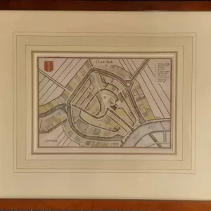
Caspar Merian (1627 – 1686)
Gouda (c. 1654)
-
 City maps€75,00
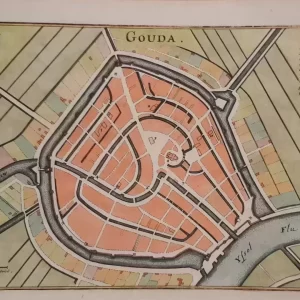
Caspar Merian (1627 – 1686)
Gouda (c. 1654)
-
 Old maps€275,00
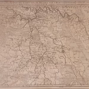
Isaak Tirion (1705 – 1765)
New map of the Meiery of ‘s Hertogenbosch (1739)
-
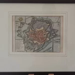 City maps€70,00
Isaak Tirion (1705 – 1765)
Ground plan of the city of Zutphen (ca. 1750)
-
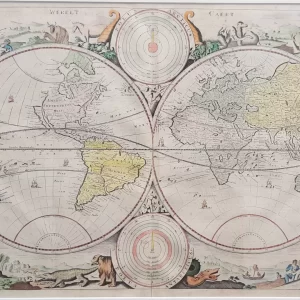 World maps€1.250,00
Daniel Stopendaal (1672 – 1726)
Werelt Caert (ca. 1700)
-
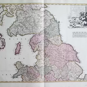
 Old maps€110,00
Franz Johann Joseph von Reilly (1766 – 1820)
Karte von Grossbritannien und Ireland (1791)
-
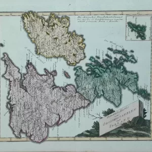
 Old maps€225,00
Johannes Covens (1997 – 1774) and Cornelis Mortier (1699 – 1783)
Tractus regni Angliae septentrion[alis] (ca. 1720)
-
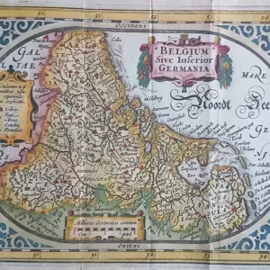 Old maps€250,00
Abraham Goos (1590 – 1643)
Belgium Sive Inferior Germania (1625)
-
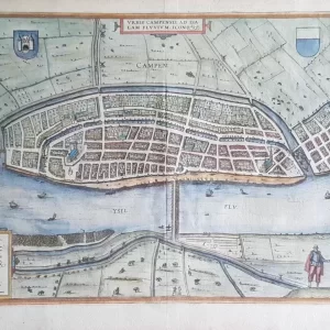 City maps€325,00
Frans Hogenberg (1535 – 1590) and Georg Braun (1541 – 1622)
Campen – Civitates Orbis Terrarum (1582)
-
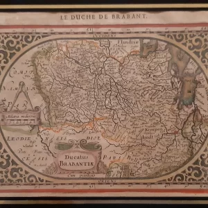 Old maps€200,00
Jan Janssonius (1588 – 1664)
Ducatus Brabantiae (1630)
-
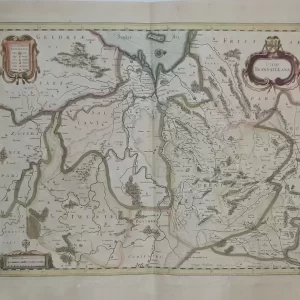 Old maps€350,00
Jan Janssonius (1588 – 1664)
Ditio Trans-Isulana (ca. 1638)