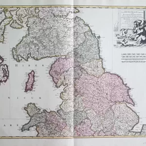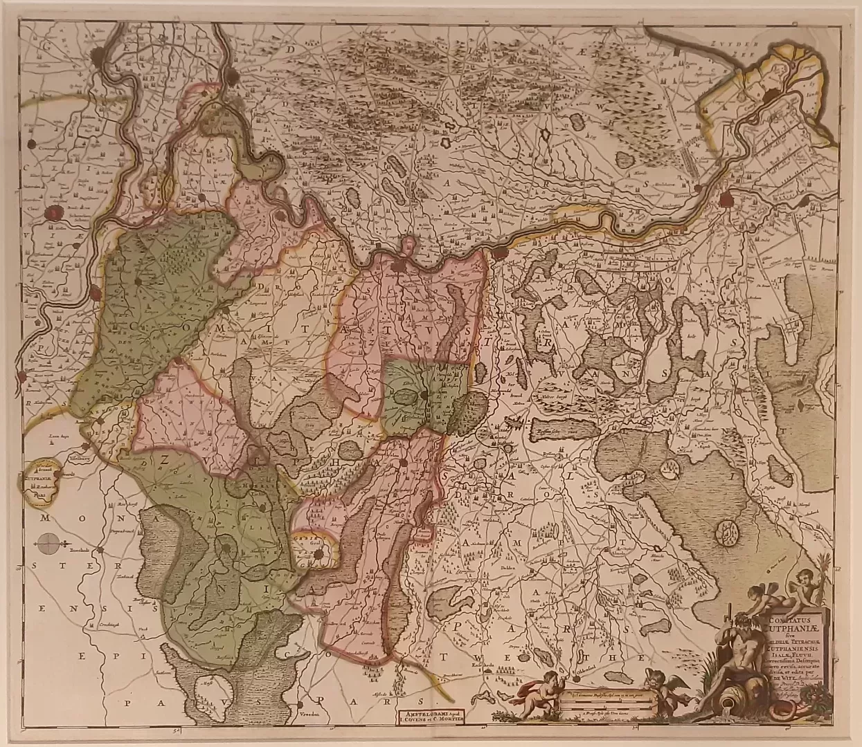
Johannes Covens and Cornelis Mortier were important cartographic publishers in the 18th century. The engraving was originally created by Frederik de Wit (1630 – 1706). After his death, many copper plates were taken over by Covens and Mortier.
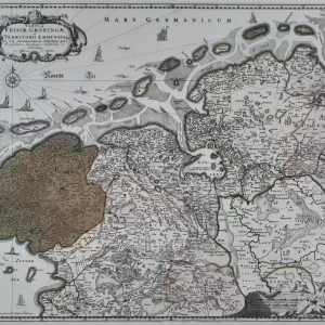
- illustration: beautiful, colored map of the county of Zutphen with a large part of Overijssel. Title lower right decorated with the Brongod of the river IJssel and two putti, to the left of this the bowl with two putti. The North is to the right
- year: ca. 1720
- quality: excellent
- signed: printed in plate
- image size: 49.7 x 57.0 cm | 19.6 x 22.4 in (h x w)
- sheet or frame size: 66.5 x 73.0 cm | 26.2 x 28.7 in (h x w)