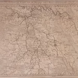
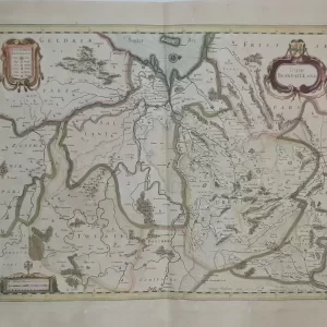
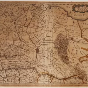
The famous Amsterdam publishing house Visscher was a producer of atlases, maps and (news) prints in the 17th century. The Visscher publishing house spans three generations: Claes Jansz. Visscher (1587-1652), Nicolaes Visscher I (1618-1679) and Nicolaes Visscher II (1649 – 1702).
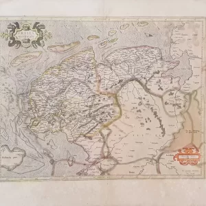
- illustration: map of France and adjacent regions, by Nicolaes Visscher in Variae Tabulae Geographicae. Highly detailed, with roads, rivers, mountains, towns and villages; title embellished with beautiful illustrations.
- year: 1690
- quality: excellent
- signed: printed below plate
- image size: 47.2 x 57.0 cm | 18.6 x 22.4 in (h x w)
- sheet or frame size: 68.0 x 83.2 cm | 26.8 x 32.8 in (h x w)