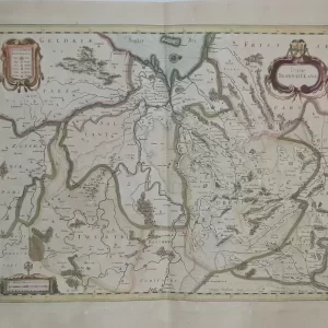
Gilles Robert de Vougondy, along with his son Didier Robert de Vougondy (1723 – 1786), was a very important French cartographer duo in 18th century. They were ahead of their time in positioning, using astronomical measurements, and made very accurate maps in their Paris print shop.
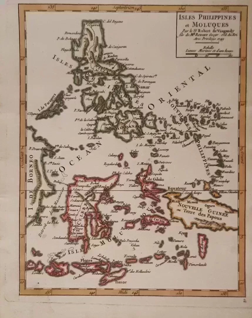
The edge of the map shows the longitude and latitude degrees. Unlike many other mapmakers at the time, they verified their maps with the latest knowledge. For this reason, Robert and Didier were appointed by Louis de XV.
- illustration: this beautiful, hand-colored copper engraving depicts the Philippine Islands and the Indonesian Moluccan Islands. At the top Luzon with the city of Manila to the south the island of Timor. A portion of Borneo on the left of the map to the Philippine archipelago to the east. Several islands are indicated such as Samar, Leyte, Cebue and Mindanao. Published in Atlas Portatif, Universel et Militaire
- year: 1749
- quality: excellent
- signed: printed in plate
- image size: 20.6 x 16.2 cm | 8.1 x 6.4 in (h x w)
- sheet or frame size: 23.2 x 18.5 cm | 9.1 x 7.3 in (h x w)

