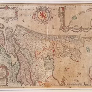
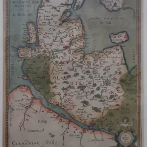
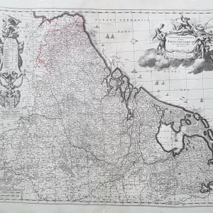
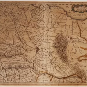
Johann Baptist Homann was a German cartographer, publisher and engraver. In 1702 he established a publishing and trading firm for cartography in Nuremberg, making globes and publishing maps.
Homann’s Lotharingiae Tabula Generalis is a historical map depicting the region of Lorraine in detail. The map is richly decorated with cartouches and allegorical figures, typical of Homann’s work.
- image: this detailed map shows cities, villages, rivers and other geographical features of Lorraine
- year: ca. 1710
- quality: good
- signed: printed in plate
- image size: 48.5 x 56.8 cm | 19.1 x 22.4 in (h x w)
- sheet size: 49.4 x 57.7 cm | 19.4 x 22.7 in (h x w)