William Hughes was an English geographer, cartographer and author. He was professor of geography at King’s College and Queen’s College in London and the Royal Female Naval School and has published widely, including map books for schools.
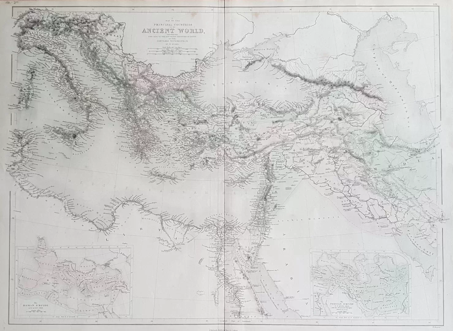
- illustration: a map from the Alps to the southern border of Egypt and from Carthage to Persepolis. A historical map of the ancient world at the time of the Roman and Persian empires
- year: 1854
- quality: excellent
- signed: below plate
- image size: 56.1 cm x 41.6 cm | 22.1 x 16.4 in (h x w)
- sheet size: 59.7 cm x 43.8 cm | 23.5 x 17.2 in (h x w)

